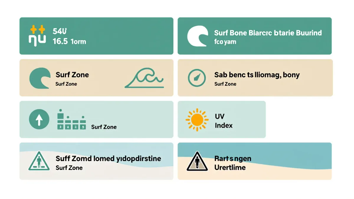
Reading a coastal marine forecast is a six-line skill, and it lives in free National Weather Service products: the forecast wind speed and direction, the wave height paired with its period, the Surf Zone Forecast's hazard wording, the tide prediction, the UV Index, and any active coastal hazard statements. Open those six for your beach the evening before, and you know whether tomorrow is a swimming day, a shelling day, or a boardwalk day — with more reliability than any beach-cam scroll, because the forecast explains why the water will look the way it will. The wind line alone sorts most beach days: per NWS coastal patterns, light and offshore morning winds are the calm-water window, and the sea breeze that builds by afternoon is what turns bays and guarded beaches into chop.
This is a reading guide, not a safety certification: forecast products describe expected conditions, the NWS updates them through the day, and the on-duty lifeguard service's posted flags at your beach are the final authority on the water in front of you.
Line one and two: wind speed and direction
The forecast wind line carries two facts, and direction matters more than speed at a beach. An offshore wind blows land-to-sea: it flattens nearshore water, cleans up waves, and — the detail regulars know — carries rafts and inflatables away from shore, which is why lifeguard services treat offshore-wind days with float-board caution, per coastal safety guidance. An onshore wind blows sea-to-land: it builds chop, pushes water and sargassum ashore, and steadies the kite-and-sail crowd. Speed rounds out the picture: under about 10 knots, water stays workable for swimmers; 10-20 knots, expect choppy water and wind-blown sand; above 20 knots, most guarded beaches see restricted or rough conditions, per the thresholds NWS marine products describe qualitatively. The timing pattern to exploit: marine winds are typically lightest at dawn and build as the land heats — the sea-breeze cycle the NWS describes for coastal zones — which is why the early beach hour is the calm-water hour.
Line three: wave height and period — the two numbers that travel together
Wave forecasts give a height and a period, and the period decides how the height feels. Per NOAA's wave mechanics, period is the seconds between waves: a 3-foot swell at 12 seconds is long, organized energy — surfable, swimmable at guarded beaches; the same 3 feet at 5 seconds is wind-chop — short, jumbled, and far harder in the water. Read the pair, not the height: rising period with modest height often precedes a swell's arrival, which is how a Tuesday forecast predicts Thursday's surf. Wave-height vocabulary in NWS products is worth knowing verbatim: seas are open-water measurements, surf is the nearshore broken height, and the two diverge as depth shoals — the nearshore wave can stand taller than the forecast sea, per NWS marine definitions.
Line four: the Surf Zone Forecast, translated
Each NWS coastal office issues a Surf Zone Forecast — sometimes labeled Beach Hazards Outlook or surf bulletin — covering wave heights, rip-outlook wording, water temperature, and hazards in one product, per NWS product descriptions. Reading it is keyword-driven: language such as a moderate or high rip risk, longshore currents, shore break, and sneaker-wave wording each carries a specific operational meaning, and those hazards are covered on this site and by agencies separately — the forecast reader's job is simply to notice which words appear for your beach and treat them as the day's conditions. The product's water-temperature line answers the swim question directly: nearshore summer readings run from the 50s on the Pacific Northwest coast to the 80s across the Gulf and South Florida, per NWS station data, and the forecast value is measured reality, not the air temperature beside it.
Line five: tides, and line six: the UV Index
The tide prediction shapes the beach's geography — sand width, shelling, tidepools, launches — and NOAA's Tides & Currents publishes the daily table for your station, covered in this site's tide guide; the marine forecast's job is to remind you that wind stacks water: an onshore wind on a high tide produces the day's highest water line, per NOAA water-level notes. The UV Index, issued daily by the NWS and EPA, completes the six lines with the exposure forecast — beach-day values commonly run 8-11 in summer, and the protection protocol scales with the number, per EPA guidance. Both lines take ten seconds to check and change the day's plan materially.
Hazard statements: the words that outrank everything
The NWS issues coastal hazard products — Small Craft Advisory, Gale Warning, Beach Hazards Statement, High Surf Advisory, Coastal Flood Advisory — and each names a threshold condition expected at the coast, per NWS hazard-product definitions. For a beach traveler, the reading rule is categorical: a Beach Hazards Statement or High Surf Advisory means the ocean is the day's hazard zone regardless of sunshine; a Coastal Flood Advisory means low-lying parking lots, roads, and beach access flood on the high tide; a Small Craft Advisory is the mariner's signal, and its wind thresholds explain why rental operators cancel paddlecraft, per the operators' posted weather policies. The products are push-delivered through weather.gov and its app, so the evening-before check takes one search of your beach's forecast page.
A ten-minute beach-day forecast routine
One: open your beach's point forecast at weather.gov the evening before and read wind speed and direction for the morning and afternoon. Two: open the marine or surf product for the coastal zone and read wave height with period plus the rip and hazard wording. Three: check the NOAA tide table for your station and note where low tide falls relative to your arrival. Four: read the UV Index. Five: scan for any active hazard statements. Six: reconcile — a light-offshore dawn with a 10-second swell and low tide at 8 a.m. is a shelling-and-swim morning; 20-knot onshore wind and a hazards statement is a town day. Then, on arrival, let the lifeguard flags and posted legend cast the final vote, because the forecast describes the coast in general and the flag describes the water in front of you.