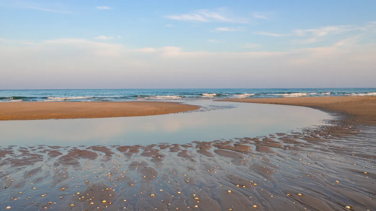
Tides are the beach's daily shape-shift, and a tide table converts them from surprise to plan: high tide shrinks the beach to its steepest strip and quiets the tidepools, while low tide widens the sand by tens of yards, exposes the shell line, opens the tidepools, and calms the shallows. Tides run on a lunar cycle of roughly 12 hours 25 minutes between comparable highs, per NOAA's tidal physics, which means the beach you visited at noon on Monday is a different beach at 3 p.m. — the tide has shifted about 50 minutes later each day. Reading the table for your beach is a ten-minute skill, and it pays off across shelling, tidepooling, sand-castle engineering, boat launches, and the simple question of where to put the cooler.
Tide predictions come from NOAA's Tides & Currents program, which publishes daily official predictions for reference stations nationwide; local corrections apply between stations, so use the nearest station the tool offers.
What causes tides — the two-minute version
The moon's gravity pulls the ocean into a slight oval, and as the Earth rotates beneath it, most coasts pass through two high and two low tides daily — the semidiurnal pattern of the US East Coast, per NOAA. The Gulf of Mexico and parts of the Pacific run on one dominant cycle per day (diurnal) or a mixed pattern, which is why Gulf tide charts look different from Atlantic ones. Two celestial variables set the range: when sun, moon, and Earth align at new and full moons, the pull combines and produces spring tides — the month's highest highs and lowest lows; at the quarter moons, the pulls cancel partly, producing weaker neap tides. The beach consequence: the most extreme beach days of any month are the few days around the new and full moons.
Reading a NOAA tide table without guesswork
The table reads like a schedule of events. Each line gives a time and a height: for example, an entry reading a low of minus 0.3 feet at 7:12 a.m. followed by a high of 3.8 feet at 1:26 p.m. means the water falls until shortly after 7, then rises all morning. Minus tides — heights below the average low datum — are the prize entries: they expose ground that stays covered most of the month, which is why tidepool guides and shellers target them specifically, per NOAA tide-table conventions and park-service tidepool guidance. Times are published in local standard time; check whether your date falls inside daylight saving and adjust mentally, since a table time of 7 a.m. standard is 8 a.m. on the summer clock. The station matters: predictions apply to a specific reference station, and NOAA notes that nearby shores can run tens of minutes to an hour different, per its accuracy notes.
Low tide: the wide beach, the shell line, and the sandbar reveal
Plan low tide when the day's goal is territory. The intertidal zone — ground between the tide lines — is where shelling is best, where sandbars and the gently shelving entries appear, and where kids' lagoon-style digging works, because the retreating water leaves calm shallows behind bars. Shellers work the falling tide specifically: two hours before low through the turn, when wave action is actively sorting the shell line, per the timing patterns shell clubs and refuge guidance recommend. Photographers and drone pilots get the widest compositions then; sand-castle engineers get the compact, water-holding sand of the freshly exposed zone rather than the dry dune sand that will not hold a tower.
High tide: the narrow beach and what it takes with it
High tide is not a bad beach hour — it is a different beach. The dry sand contracts to the upper berm, which means the practical logistics compress: gear goes closer to the dunes, umbrellas find less room, and at the highest tides of the month, some beaches lose their upper strip entirely against dune scarps or seawalls, per the beach-profile behavior USGS describes for seasonal and tidal change. High tide is the better swimming hour on many beaches — deeper water over the bar, less walking to reach it — and it is the hour that moves gear: anything left near the waterline at a rising tide, from towels to sandcastles to unattended kayaks, is on the tide's schedule, not yours. On spring tides, park accordingly; flooded beach lots at the highest tides are a recurring notice in low-lying beach towns.
Which tide for which activity?
- Shelling: falling tide through the low, especially after a blow, on the widest intertidal flats.
- Tidepooling: low tide, ideally a minus or near-minus tide; arrive an hour before the low to catch the best pools exposed, per NPS tidepool guidance.
- Swimming with kids: rising or high tide on a guarded beach, when depth returns over the bar; shallow-morning lows suit toddlers on flat beaches.
- Surfing and boogie boarding: beach-specific — the bar configures the wave, and locals know whether their beach breaks best on the push or the drop; ask the shop.
- Kayak or SUP launch: mid-to-high tide in tidal creeks and marsh launches, where low tide strands mudflats and narrows channels.
- Beach driving (where legal): low tide on firm sand within the posted driving hours, per authority rules that tie driving windows to tide state.
How do you plan a whole beach week around tides?
Work the week's table once, then assign. Pull NOAA predictions for your nearest station, mark the days' low-tide times, and slot the tide-dependent activities where the water cooperates: tidepool morning on the lowest day, shelling after any storm blow, the marsh launch on a high-tide afternoon. Then check two interactions: sunset or sunrise slots against tide state if photography is the goal, and the moon phase — a week that contains a new or full moon contains the month's biggest tidal swings, the best minus tide and the highest high within three days of each other, per the lunar timing of spring tides. A printed table on the refrigerator door does more for a beach week than any other single sheet of paper.